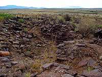
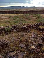
 Pueblo La Plata, ruins, Aqua Fria National Monument |
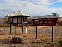 Badger Springs, information kiosk |
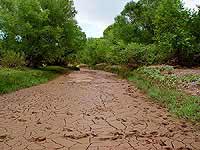 Aqua Fria River bed at Bloody Basin Road, near the Horseshoe Ranch (private land) |
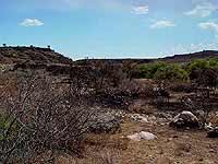 Burnt bushes and trees, signs of a wildland fire near the Silver Creek wash |
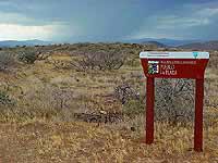 Pueblo La Plata sign |
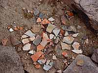 pottery pieces (enlargeable) |
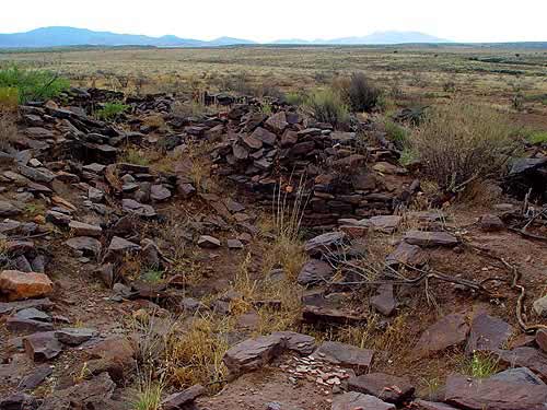
 Pueblo La Plata, view north (enlargeable) |
| Datenschutzerklärung |